In 2005, Michael Pollock set up a table at the Parkwood October Flea Market and signed up volunteers to monitor Northeast Creek at Grandale Road and at Sedwick Road as part of a North Carolina effort to improve water quality and introduce the public to the notion of “non-point” sources of pollution: runoff from over-fertilized lawns, dog poop, litter, and the dumping of objects and litter into “unused land” including stream basins. After 16 years, we are very clear now that there is no “away” to throwing it away; pollutants stay somewhere.
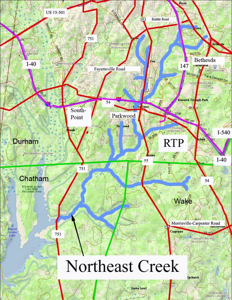
Through a “Where Is Northeast Creek?” publicity campaign with tabling, cards, and tee shirts, we became aware of the major tributaries of Northeast Creek and the relationship of the streams to roads and neighborhoods. The “four corners” of the watershed in Durham County are Emorywood (NW), Bethesda (NE), Research Triangle Park (SE), and C. J. Herndon Park (SW). The bottom corners in Chatham and Wake counties are the mouth of Northeast Creek at the NC 751 bridge over Lake Jordan (SW) and Green Hope High School in Cary (SE). In the map above the railroad track symbol that runs from the “h” in “Northeast” up to the Chatham/Durham line is the railroad that is now the American Tobacco Trail.
It did not take long to explore the sources of Northeast Creek, in Emorywood, Bilboa, Bethesda, Research Triangle Park, Morrisville, and Green Level.
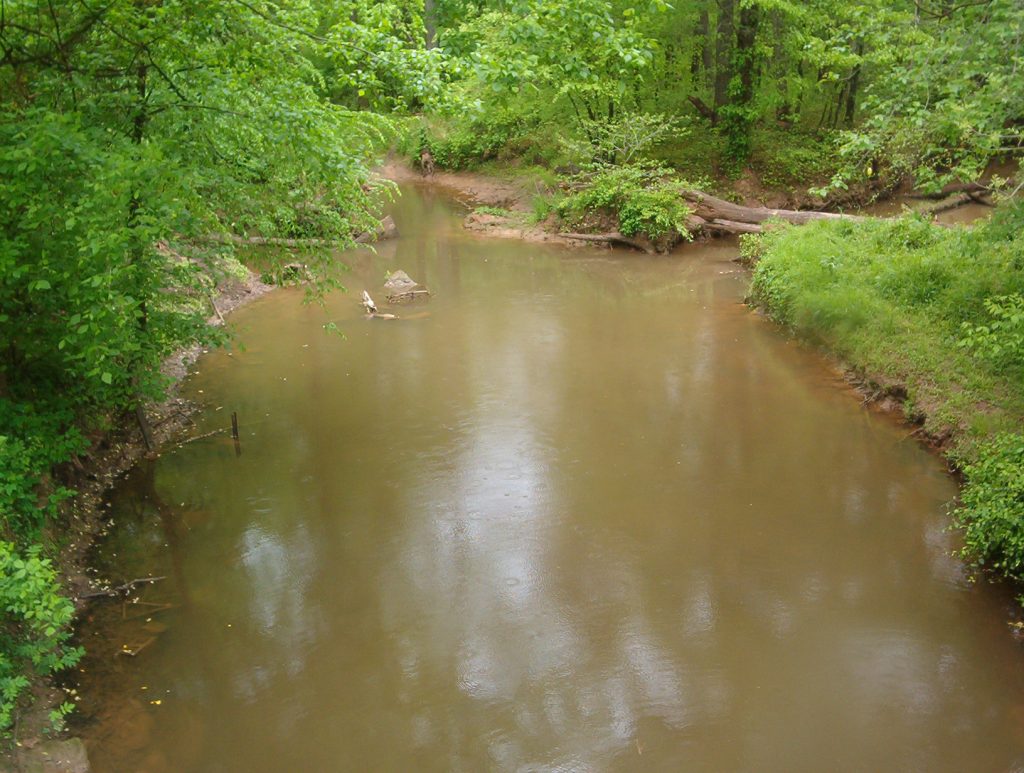
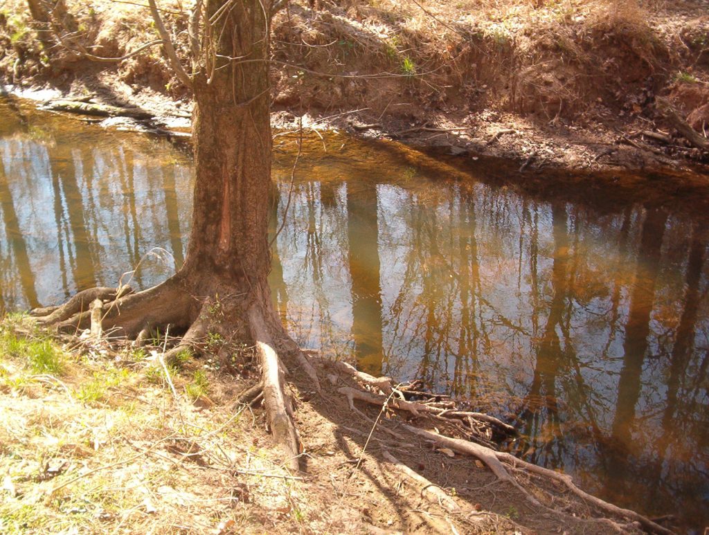
Northeast Creek is a Triassic Basin stream that descends from the ridge between the Cape Fear River basin (Lake Jordan) and the Neuse River basin (Falls Lake). The steep slopes near downtown Durham and the North Carolina Railroad give way to wet bottom lands near the Ellis-SoHi intersection and in Meridian Park. South of I-40, the wetland alternates between braided streams and meanders with ox-bow pools. By the time it flows into Lake Jordan, it has gathered the runoff from 47 square miles of watershed. It is typical of a stream in the fall zone of the Carolina Piedmont.
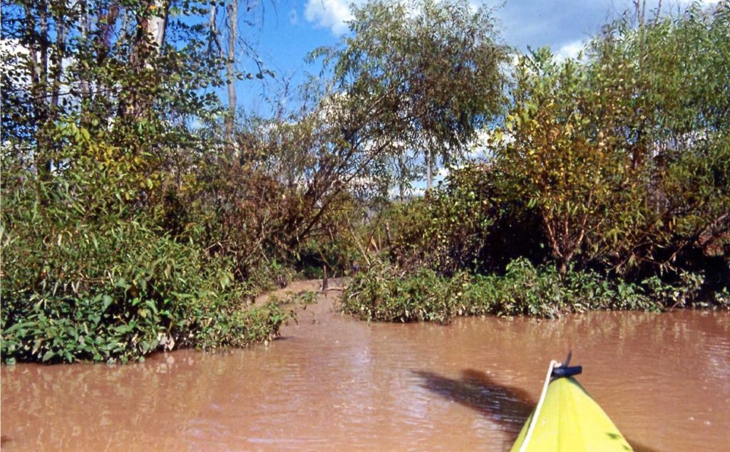
Eventually, one who lives in the Northeast Creek basin will want to see where it empties into Lake Jordan. In the 2007 drought, it was possible to walk around the lake shore to the mouth. Most often, a kayak is a more convenient form of transportation. After rainstorms, one will notice the suspended colloidal clay from the rapid runoff over bare ground that gets retained all the way to the mouth of Northeast Creek.
Water determines how land is developed. How land is developed determines the quality of water.
In 2005, Michael Pollock adopted Northeast Creek as a North Carolina Division of Water Quality Stream Watch project and coordinated with Laura Webb Smith, City of Durham’s environmental educator on adopting a part of Northeast Creek in Durham. Christine Todd Whitman, the EPA Administrator had promoted and adopt-your-stream program in 2005 that became North Carolina’s Stream Watch program. In 2007, Randal Haithcock adopted the entire Northeast Creek watershed under the EPA Adopt-a-Stream program.
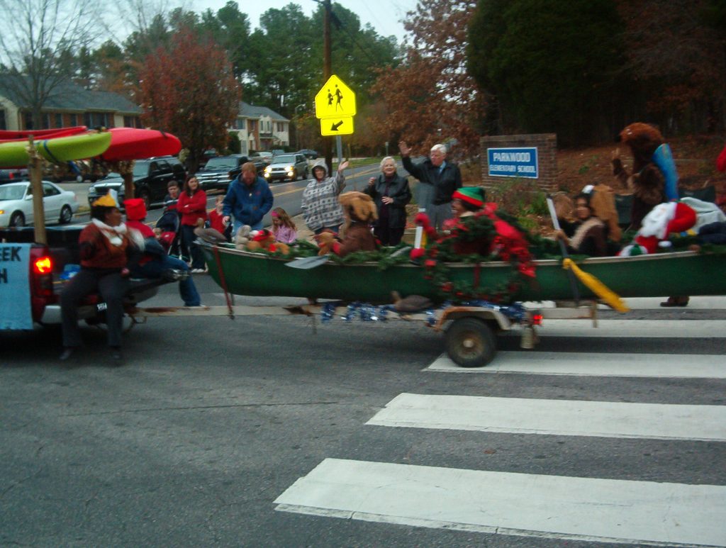
By December of 2006, it was clear that people would have to love Northeast Creek to protect and be aware of its existence if they were to learn to love it. Something about a sense of place was emerging. Northeast Creek Streamwatch enlisted volunteers from the Parkwood Library (before South Regional Library was constructed) to create costumes and ride a float in the Parkwood Christmas Parade on behalf of Northeast Creek Streamwatch.
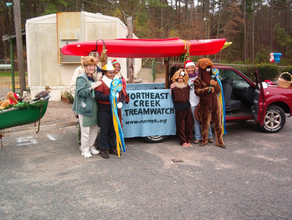
A Chapel Hill resident who was supporting Northeast Creek Streamwatch and operating Kayak Adventures, the late Susanne Gomolski offered to provide the equipment for the float, a canoe and kayaks, that she used to take tours of the mouth of Northeast Creek and other places around Lake Jordan.
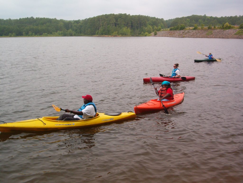
In the late spring of the next year, the volunteers who were in the Christmas Parade camped out at Lake Jordan and paddled kayaks in one of the arms of the lake. One of the thrills was seeing a bald eagle taking a fish from the waters of Lake Jordan.
During Earth Week, volunteers from Northeast Creek Streamwatch tabled at the annual IBM Environmental Day, raising awareness about the effects of polluted water on amphibians.
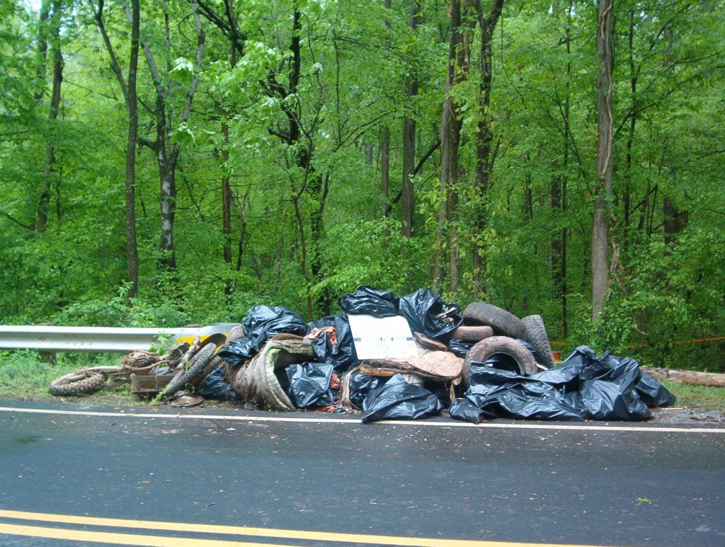
The previous Earth Day, the first major clean-up at the Grandale Road bridge netted this load of trash, including a motorcycle.
After the 2006 cleanup the creek at Grandale Road had lost a lot of trash.
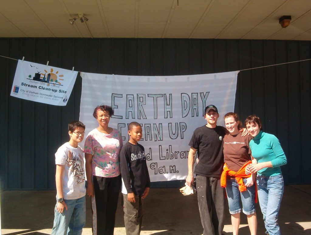
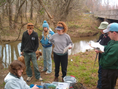
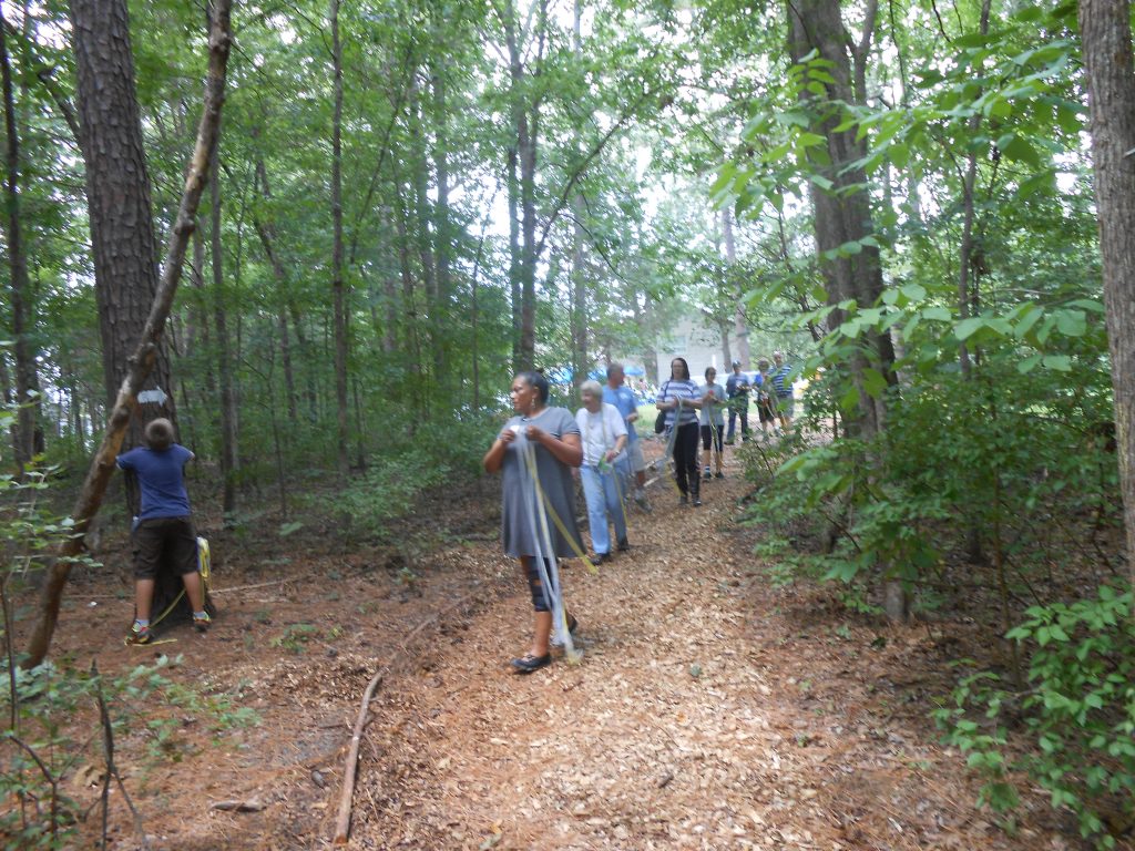
In 2007 Northeast Creek Streamwatch had a larger clean-up with over 30 people and teams cleaning up four locations; this is one of the teams.
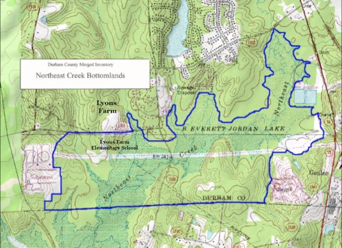
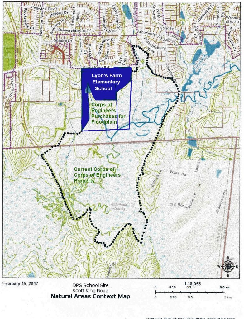
The natural heritage inventory study area for the Northeast Creek Bottomlands in Durham County NC
Advocacy began in 2006 with efforts to ensure an adequate upland buffer around the Northeast Creek Bottomlands, a Durham County designated significant natural area of plants and wildlife.
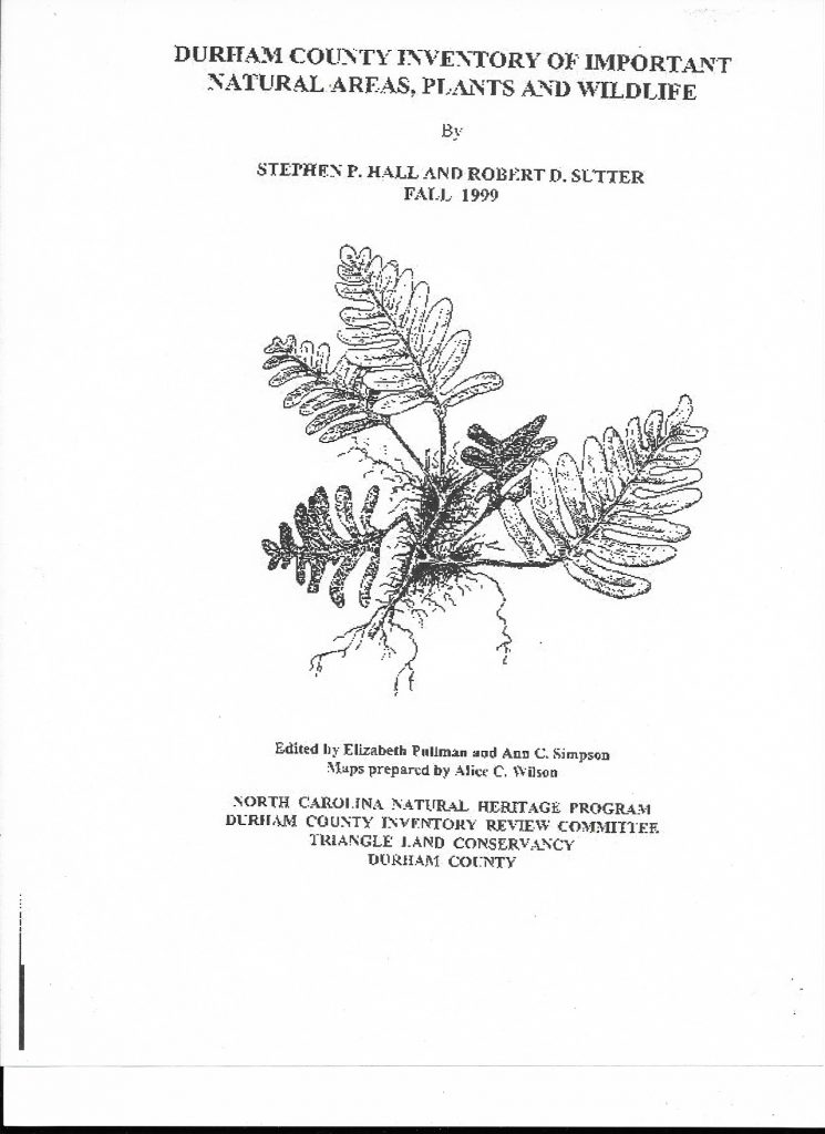
The cover of the inventory that designated all of the important natural areas in Durham County:
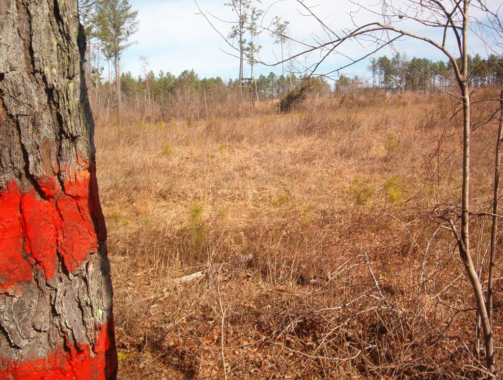
Our first glimpse of the property that applying to be a high-density single-family residential development looked like this view from Corps of Engineers property.
After two years of advocacy, the neighborhoods and Northeast Creek Streamwatch, the zoning proposal was withdrawn and the property purchased by Durham Public Schools as what is now Lyon’s Farm Elementary School.
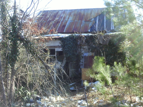
In 2010, Durham Public Schools allowed Northeast Creek Streamwatch a site visit. We photographed the farmhouse, native plants, and the area between the DPS site and the American Tobacco Trail bridge. This view of the farmhouse shows that it had an enclosed front porch and a tin roof. We are still researching the history of occupation of this farmhouse, but it might have been vacant as long as 48 years by this point.
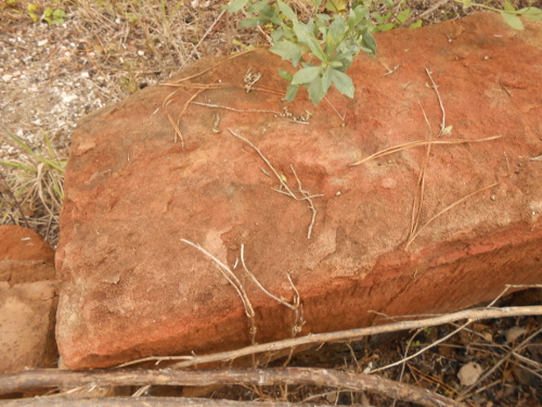
In 2015, Durham Public Schools contacted us, saying that they were beginning the design phase of school construction and had their capital and construction manager meet us to walk the site. When we did this, we found that a brush fire had burned the house and blackened some of the pine trees. In the ruins of the foundation and the cold cellar, we saw this dressed red sandstone block and decided that we needed to find out more about this house’s history.
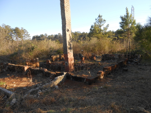
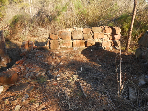
On Martin Luther King Day 2016, Northeast Creek Streamwatch volunteers cleaned the brush away from the foundations and took a picture of the exposed chimney and the cold cellar. We also contacted the NC State Archaeologist’s Office to provide a framework for any documentation or salvage archaeology. The story of this place was worth telling to the students who would attend the school; it would give them an up-close view of what history and archaeology are.
Preliminary research showed that the property was acquired in 1942 by a black farmer named Bee James; property that Durham Public Schools also acquired for this project was owned by Eddie Lyon; another tracts had be owned in the 1950s by the Pritchards.
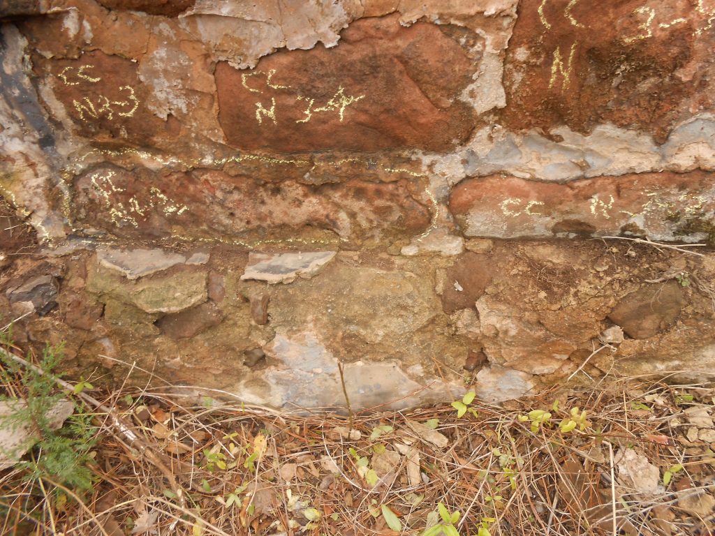
During the documentation of the old farmstead, the north wall of the cold cellar was marked to permit the option of reconstructing it. In this picture, you can see that the floor in the cold cellar was a tarpaper-coated floor boarding laid top of the first two courses of stone.
Continuous portion of the Northeast Creek bottom lands natural heritage area in the meanders between Grandale Road and a section of the American Tobacco Trail. Coming in from the southeast of the American Tobacco Trail bridge is Kit Creek (Kitt Creek).
From 2015 onward, Northeast Creek Streamwatch has partnered with the biotechnology career program at Lowe’s Grove Middle School. Two years (before COVID-19) we celebrated Creek Week at Lowe’s Grove Middle School. We also partnered with the biotechnology career program and the NC Museum of Natural Science one year in a Dragonfly Detective citizen science program.
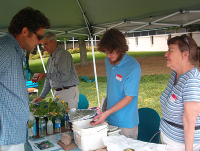
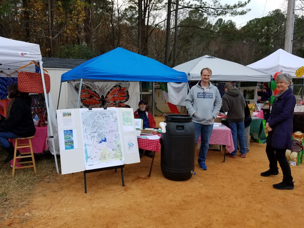
In 2015, Cory Quammen conducted a Save the Rain workshop to showcase the work that he and Durham Soil and Water did to control the runoff from his yard. He began instructing how to make hand-made rainbarrels from recycled pickle barrels.
In 2016, the Durham Soil and Water Conservation District named Northeast Creek Streamwatch as Urban Conservationist of the Year.
In 2017, Northeast Creek Streamwatch partnered with the Parkwood Village Association (PVA) in a City of Durham Neighborhood Improvement Program grant to reduce erosion going into Parkwood Creek (Tributary C) through construction of the Wiggly Trail and a garden of evapotranspirators next to the Parkwood Village swimming pool. The completion of the project was celebrated with a march down the new trail, with all of the participants from Parkwood Village, Parkwood, and other neighborhoods joining in the festivities.
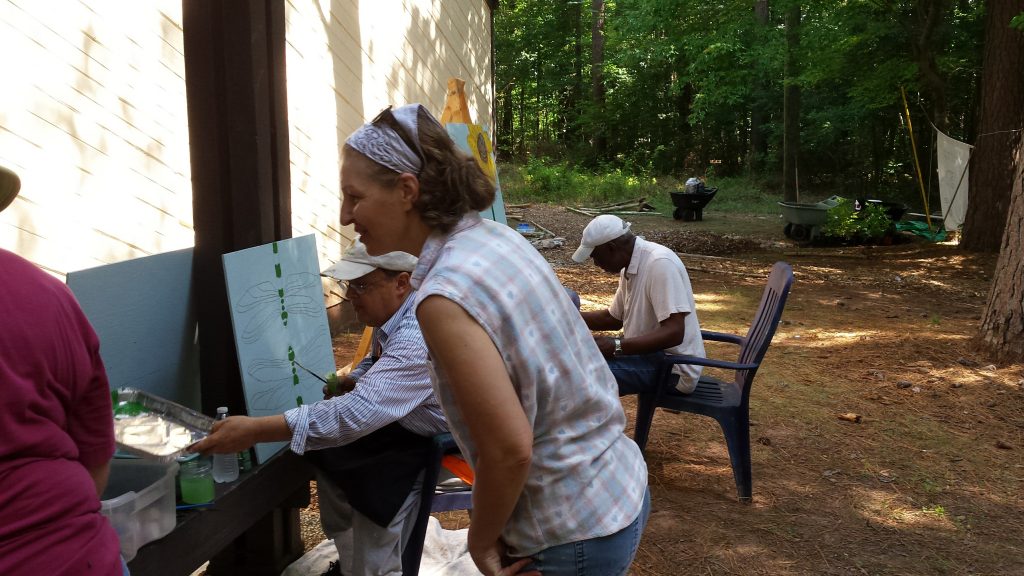
In 2017, the completion of the Wiggly Trail had a workshop for making rainbarrels and a workshop to paint pictures of native plants and butterflies
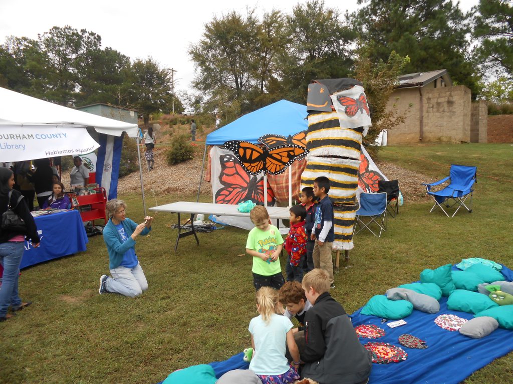
In 2018, Northeast Creek Streamwatch was one of the participants at the Monarch Festival at Sandy Creek Park. The art class at Fayetteville Street Elementary School brought a paper mache caterpillar made by students.
Cory Quammen showed a handmade water barrel and promoted the Upstream Neighbors-Downstream Neighbors program.
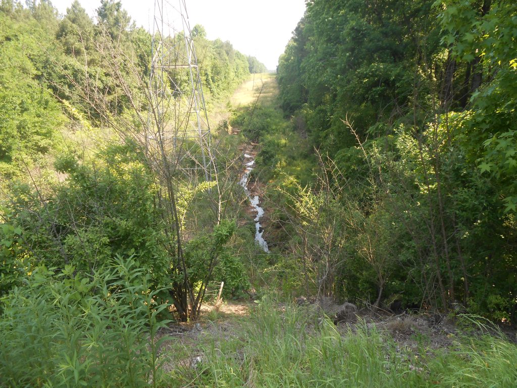
Northeast Creek in the Corps of Engineers land is a different world of plants and animals, but still shows the issues of water quality that motivates continued work.
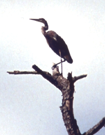
At mouth of Northeast Creek is a multi-species bird rookery that includes this blue heron photographed by Susanne Gomolski.