
Start at Ellis Road and Angier Avenue.
Go east on Angier Avenue and under the viaduct of the Eastern Connector. The railroad tracks are on the ridge between the Cape Fear River basin (Northeast Creek) and the Neuse River basin (Lick Creek). Beyond the railroad track and Riggsbee Road is the furthest north source of Northeast Creek.
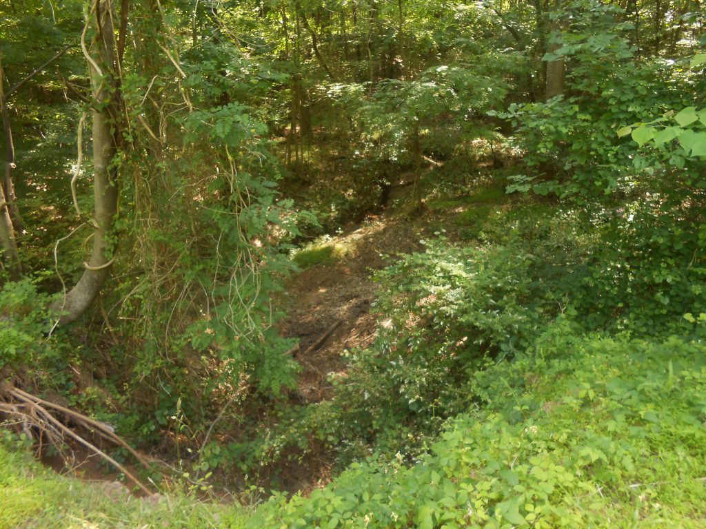
Turn right on Glover Road. Turn right on Esther Drive. Where the road is lowest is a culvert that carries stormwater under Esther Drive as it collects from Riggsbee Road and flows down toward the Durham Freeway (NC 147). Stop at the culvert and look right to the upstream side. The stream come down through a diabase rock outcropping before going under the road.
Walk across the road and look to the downstream side; the stream flows down a relatively steep slope.
Drive to the dead end of Esther Drive and turn around; go back to Glover Road and turn right. Park where is is safe to pull over near the bridge over the creek.
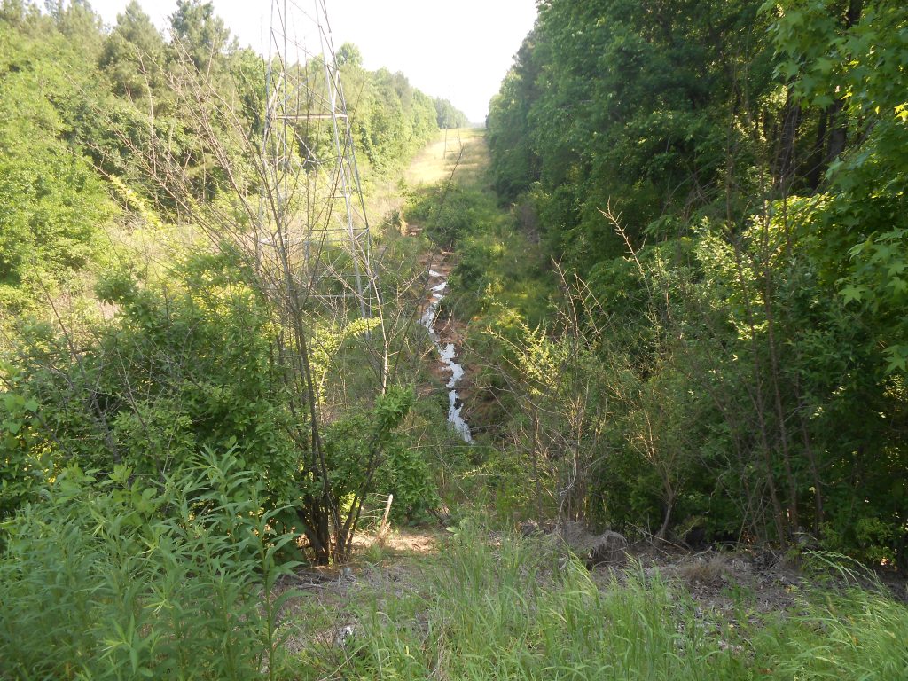
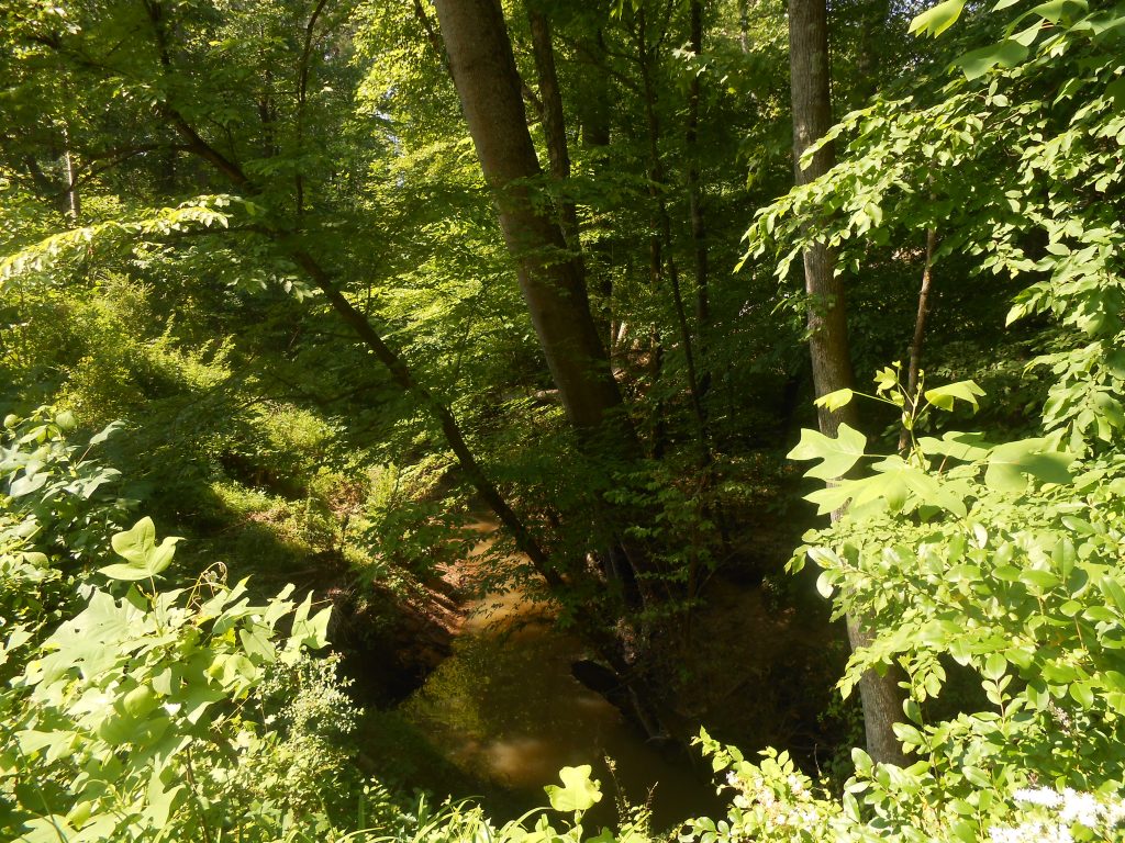
Walk to the bridge and look upstream (to the right as you go toward Ellis Road). You see the source of the creek that started by Ellis Road and Angier Avenue coming down the slope of a mowed easement. It passes under the bridge on Glover Road.
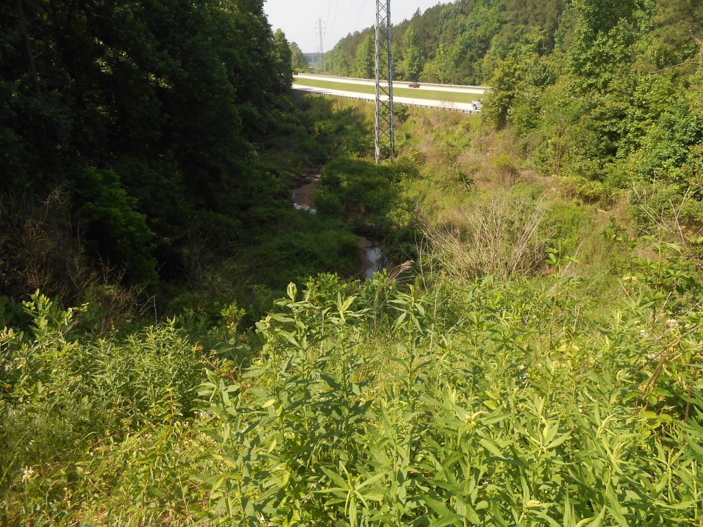
Walk to the downstream side of the bridge (to the left as you go toward Ellis Road). You see well below you the creek as it flows to and then alongside the Durham Freeway (NC 147) before it goes through a culvert toward Ellis Road.
Continue on Glover Road toward Elllis Road. Turn left on Ellis Road. Turn right on Riddle Road. Riddle Road is on the ridge between Northeast Creek and Third Fork Creek, both tributaries of New Hope Creek of the Cape Fear River basin. This is a continuation of the upland that started at Ellis Road and Angier Avenue.
Continue on Riddle Road across the railroad track and alongside the extension of the American Tobacco Trail from Fayetteville Road to Briggs Avenue. If you are bicycling, you can take this spur and the American Tobacco Trail all the way to Fayetteville Road and Barbee Road. Continue west along Riddle Road; cross Alston Avenue (goes to Lowe’s Grove); cross NC 55 (goes to Apex). Notice that you are passing entrances on the right (north) to Hillside High School (in the Third Fork Creek basin). At Fayetteville Road, turn left (south). You approximate the ridge between Northeast Creek on the left and Third Fork Creek on the right.
Cross Martin Luther King Drive. Continue by Solite Park and turn left on Barbee Road. From here to Barbee Road at Herndon Road (traffic circle), Barbee Road approximates the ridge between Northeast Creek on the left (east) and Crooked Creek on the right (west).
Pass Pearsontown Elementary School, which is on the uplands that drain into the Penrith community lake. This is historically the Community Baptist Church community of literally black farmers and mechanics and the neighborhood surrounding the Rosenwald-funded Union School. Union School sat in the center of what is now the Woodlake community in the Crooked Creek basin.
Cross Woodcroft Parkway and I-40.
At Barbee Road and NC 54 your are at a local high point in South Durham. Near here seventy years ago there was a forest fire tower to protect the local tree farms under the Eisenhower-era Soil Bank.
Continue on Barbee Road past Grandale Road and to the traffic circle. Circle around three fourths of the circle (a left turn) and on to Herndon Road headed south. This is the ridge between Northeast Creek on the east (left) and Crooked Creek on the right (west) until the ridge trends southwest around Marty Road. From here to Scott King Road, Herndon Road descends toward the Northeast Creek upland buffer.
At Herndon Road and Scott King Road, a parking lot for the American Tobacco Trail is directly in front of you on the south side of Scott King Road. If you stayed on the American Tobacco Trail from Fayetteville Road and Barbee Road (by Solite Park), you will have passed across NC 54 and through the Homestead Market shopping area, across the American Tobacco Trail bridge over I-40, through the Southpoint shoppping mall area, crossed Massey Chapel Road and Fayetteville Road and entered the Northeast Creek basin around the spur to C. M. Herndon Park. The American Tobacco Trail remains in the Northeast Creek basin until New Hope Church Road Park in Cary.
Turn right on Scott King Road and left on Capstone Drive. Your are now going along the uplands between Northeast Creek and Crooked Creek. Continue on Capstone Drive to the second intersection (four-way) with Crisp Road. Turn right and at NC 751 turn left.
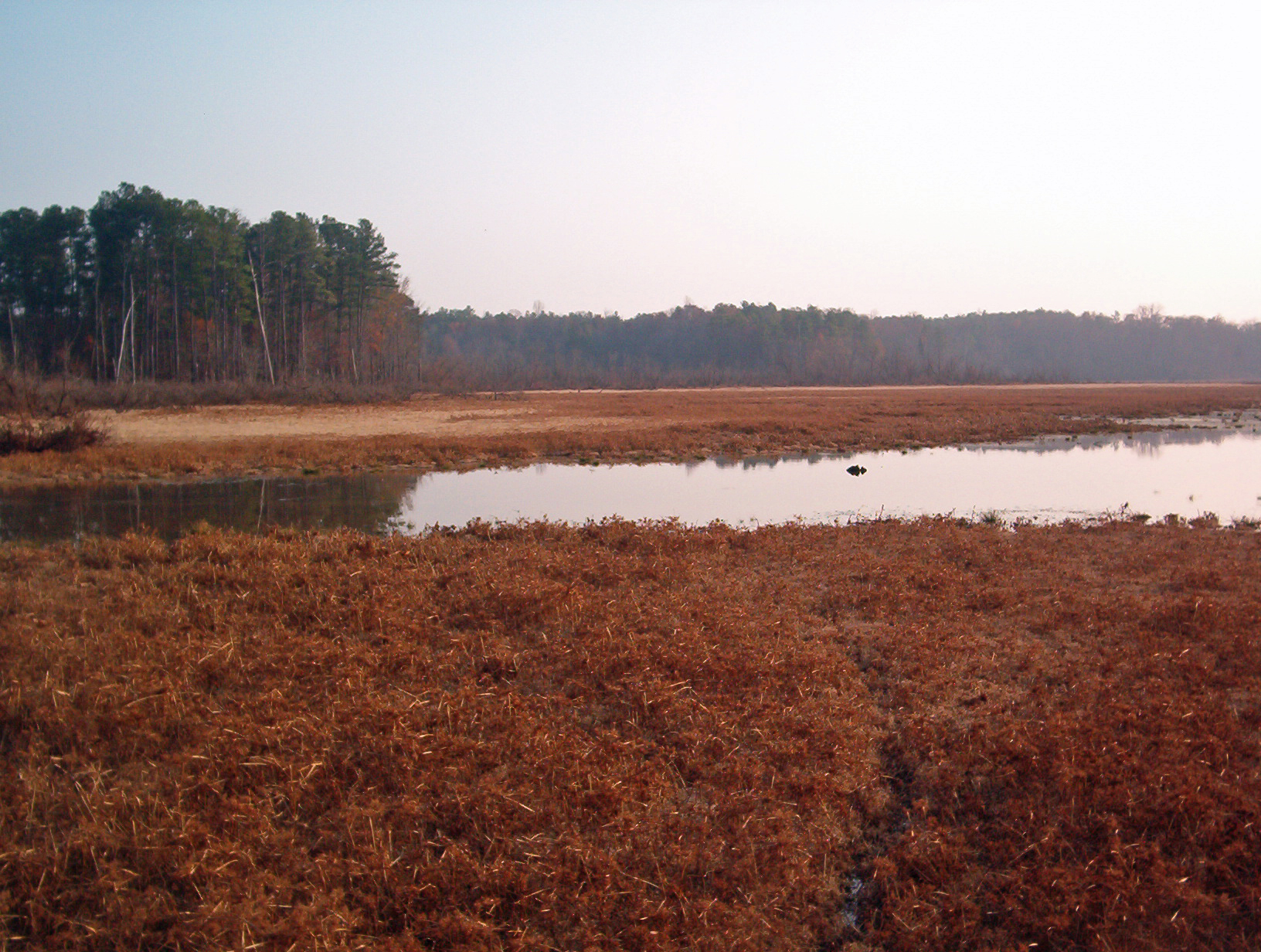
O’Kelly Chapel Road turns left at O’Kelly Chapel on the right. Continue around to the right on NC 751. After a while you approach the bridge over Jordan Lake. Before this bridge is a parking lot. Park in this lot and walk around looking at Jordan Lake. Then walk out on the bridge and look to the east (left). At the far edge of the bay you can see the mouth of Northeast Creek coming out of some snags. These snags are lake bird nesting areas for herons, hawks, and eagles.
You have toured Northeast Creek along its western ridge from downtown Durham to Jordan Lake.