
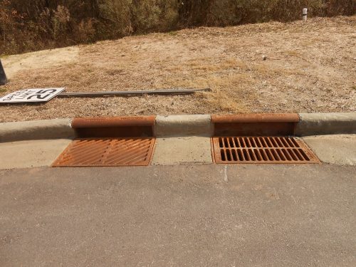
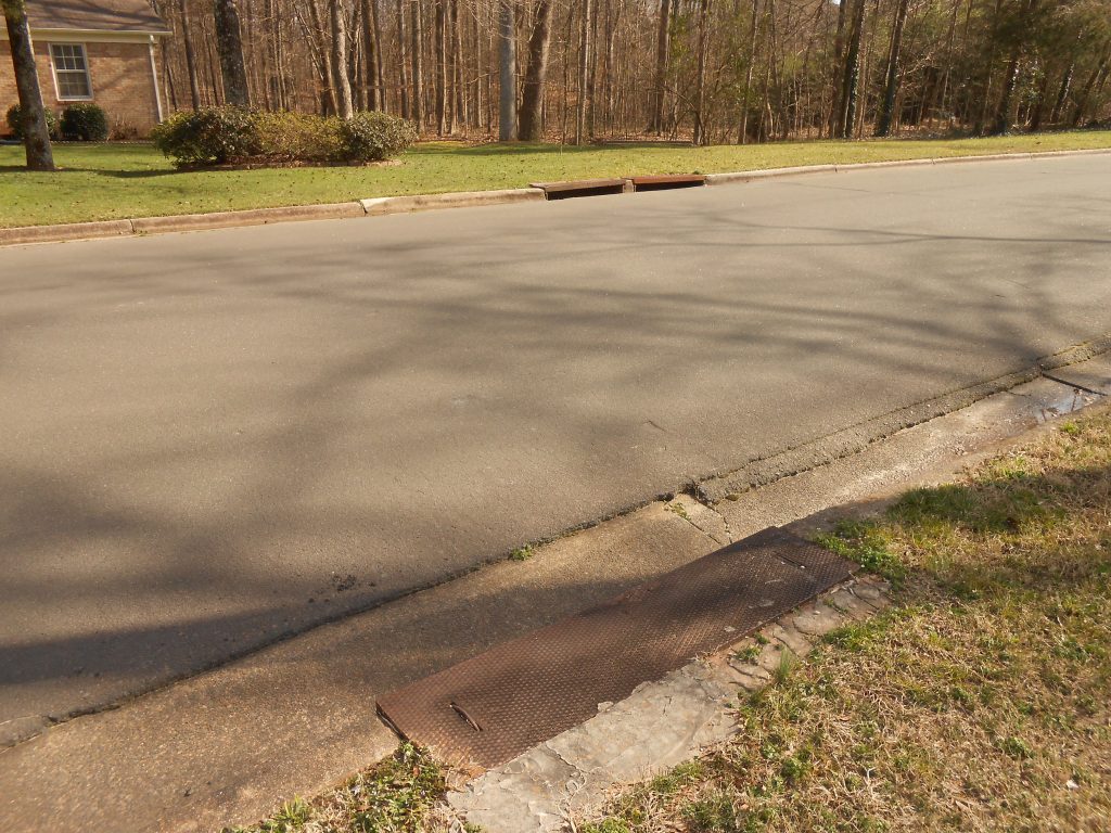
Start at NC 54 and Barbee Road at the entrance from Barbee Road into the Meadows at Southpoint. Turn right on Catch Fly Lane. Go to White Crane Court and turn right. Go to the side of the cul-de-sac towards the woods across from 118 White Crane Court. Observe the twin storm drains.
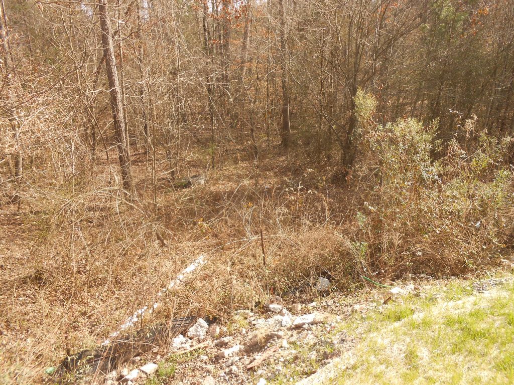
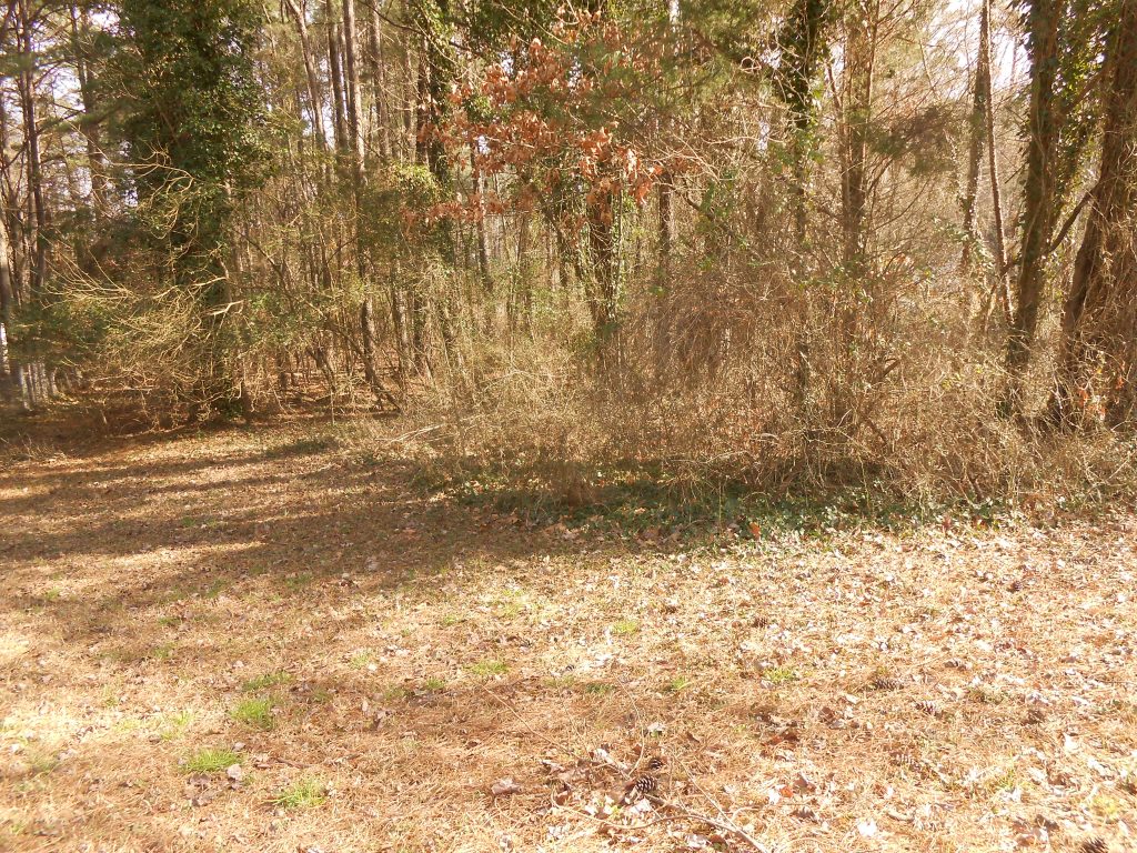
Look down the slope that parallels the houses on Catch Fly Lane. That slope and the creek it runs into drain the western end of the Meadows at Southpoint through a buffer and tree save on Meadows at Southpoint HOA common property. This is one of the sources of Tributary C and during construction was the area along with the uncompleted retention pond that produced the siltation in the Parkwood Lake. Maintenance of stormwater controls during construction and after occupation is not just an aesthetic maintenance issue.
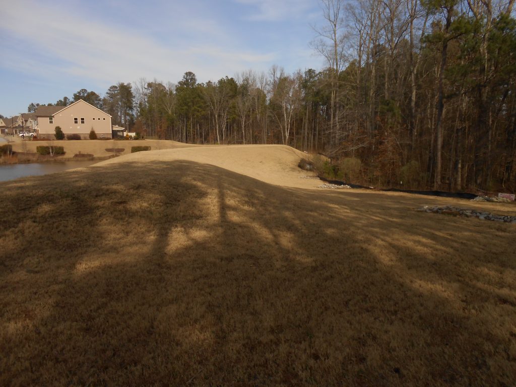
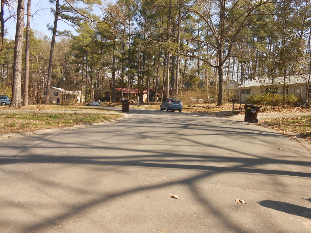
Return to Catch Fly Lane and turn right. Park at the Community Center parking lot at 1417 Catch Fly Lane. Notice the retention pond to the left of the swimming pool. This retention pond delays the runoff from the east end of the Meadows at Southpoint from rushing down to Parkwood Lake. The houses are connected to stormwater pipes that flow into the retention pond.eave the parking lot turning right on Catch Fly Lane; turn right on Lotus Lily Drive and right again into NC 54. Bear right onto Revere Road entering Parkwood. Turn right on McCormick Road and right on Auburndale Drive. Park just past the intersection with Lamarck Court.
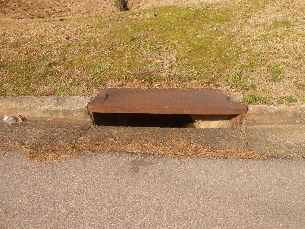
Find the storm drains on Auburndale Drive to west of Lamarck Court. The storm drains collect the runoff from the streets, Lamarck and Auburndale and channels it into the storm pipe. Turn in the direction of Lamarck Court (north) and look upstream from the storm pipe.
You should see the stream that comes from the retention pond at the Meadows at Southpoint. The storm pipe carries the stormwater under the street. Up Auburndale Drive from here is a grassy area for the sanitary sewer pipe that gravity feeds from the Meadows at Southpoint on its way to the Triangle Wastewater Treatment Plant on NC 55.
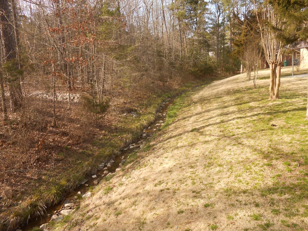
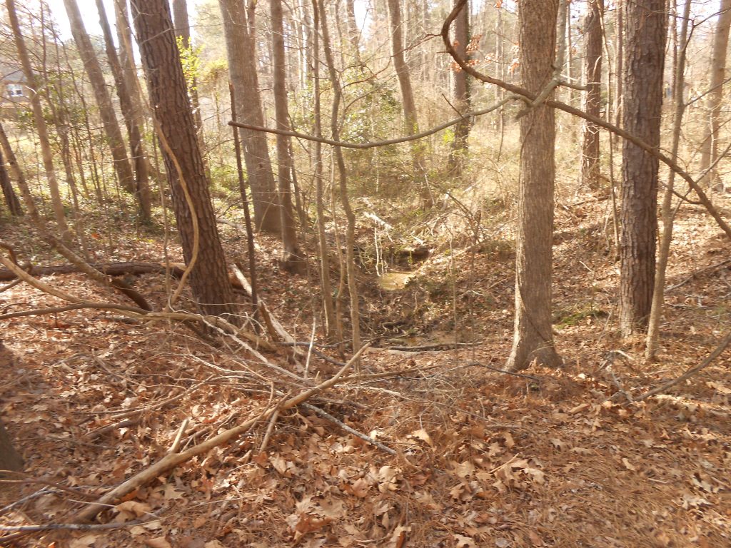
Cross the street and look downstream. This stream crosses through Parkwood Homeowners Association common land that was established as a stream buffer when this section of Parkwood was developed. All over Parkwood the primary purpose of common land is to act as rainwater absorbing areas and stream buffers. Pay attention to these as you take your walks around Parkwood. Continue up Auburndale Drive to the curve where Auburndale Drive in Parkwood changes into Huntsman Drive in Hunters Woods.
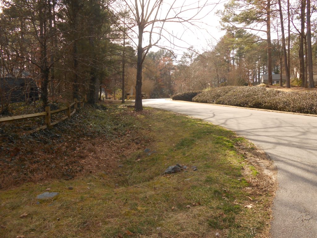
This is the saddle between the McCormick Road upland and the high point on Barbee Road; in the 1950s there was a NC Forest Service fire tower on that high point. This saddle divides Tributary C (the one you are touring) from tributary D (the next branch to the west). Turn around between 1118 Huntsman Drive and 1122 Huntsman Drive, which is the high point. Return along Auburndale Drive. Turn right on McCormick Road.
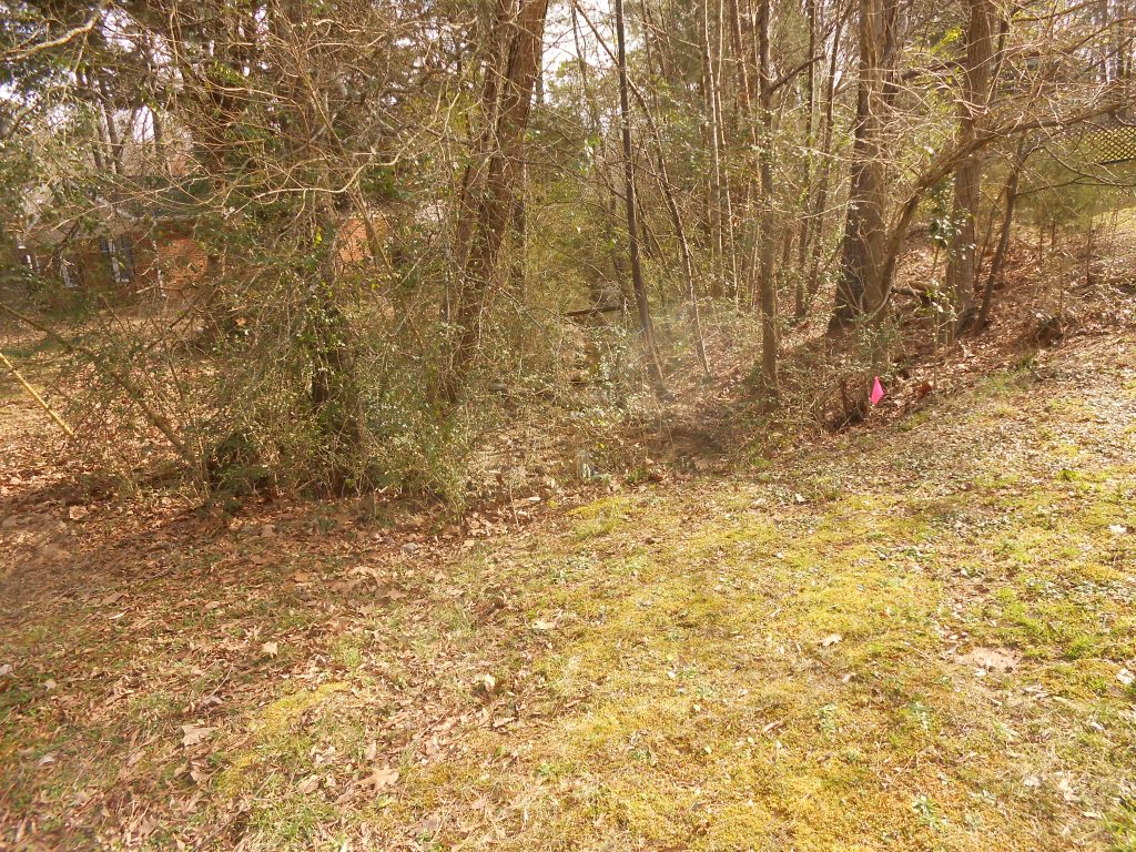
Park between 4926 McCormick Road and 4936 McCormick Road at a stream buffer that is Parkwood Homeowners Association common land.
Notice that the stream that we are following goes under McCormick Road in a corrugated metal pipe. Cross McCormick Road and notice where the metal pipe come out. Look for the biggest tree slightly to the left (east) of the alignment of the pipe. That large tree is a white ash and designated as one of Durham’s distinguished trees because of its size and age.
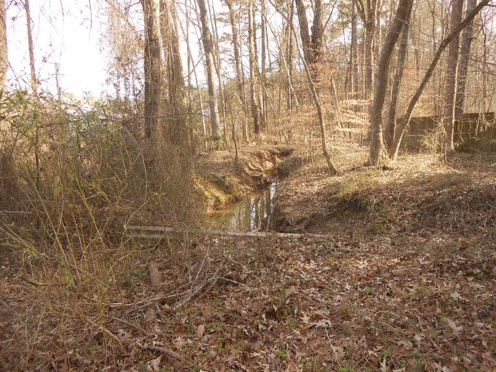
The stream from here runs to the west of the Durham Fire Department Company 18 firehouse (which for many years was the Parkwood Volunteer Fire Department firehouse). But for now, continue on McCormick Road to 5120 McCormick Road. The woods across the street are Parkwood Homeowners Association common land that is a stream buffer for another source stream of Tributary C. The Parkwood Homeowners Association tot lot is across from this stream buffer.
Turn around and go back to Timmons Drive; turn right. Just beyond 5108 Timmons Drive a pipe carries the stream we have traced from the McCormick Road uplands across Timmons Drive. This stream joins Tributary C behind 5 Watauga Court and Tributary C runs between Watauga Court and the Durham Fire Department firehouse.
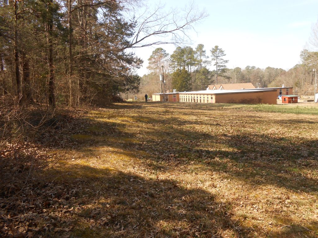
Continue on Timmons Drive to McCormick Road. Turn left. At Seaton Road, turn left; then turn right into the near parking lot at the Jamaat Ibad ar-Rahman mosque. Tributary C runs to the left of the Durham Fire Department firehouse and downstream in the direction of the Jamaat Ibad ar-Rahman mosque.
A tributary that starts at the uplands at the end of Kevin Court and carries runoff from all the houses around Leitzel Court flows through a stormwater pipe near 5509 McCormick Road and along property boundaries behind Ainsworth Court and Kellom Court and through a stormwater pipe near 1315 Seaton Road. This tributary joins Tributary C behind 1400 Seaton Road and 1322 Seaton Road flowing between historic Parkwood Center (Mediterranean Cafe and Grocery, Jamaat Ibad ar-Rahman mosque and the Parkwood Ballfield) and the walking trail from the Parkwood Ballfield to the Lotus Pond.
Continue the tour on Seaton Road, turning right on Revere Road. At the stoplight, turn right on Clermont Road and stop at the Parkwood Lake. Parkwood Lake is on the left; the Lotus Pond is on the right. Go to the Lotus Pond.
When ducks and geese are in Parkwood Lake, paddlings of ducklings often swim in the Lotus Pond and are vulnerable to barred owls that live in the Tributary C woods.
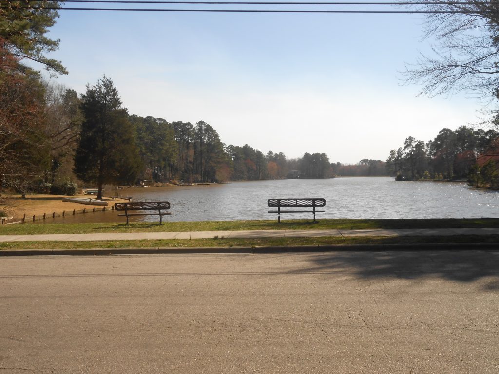
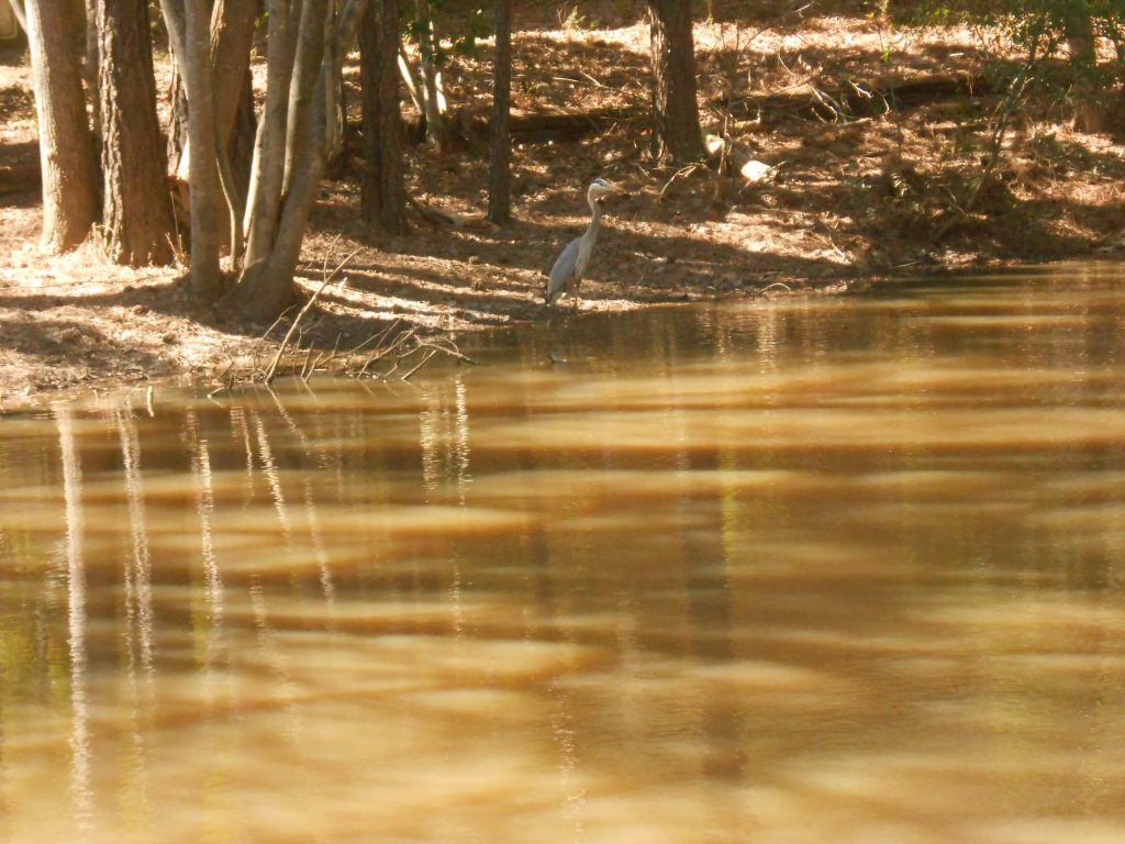
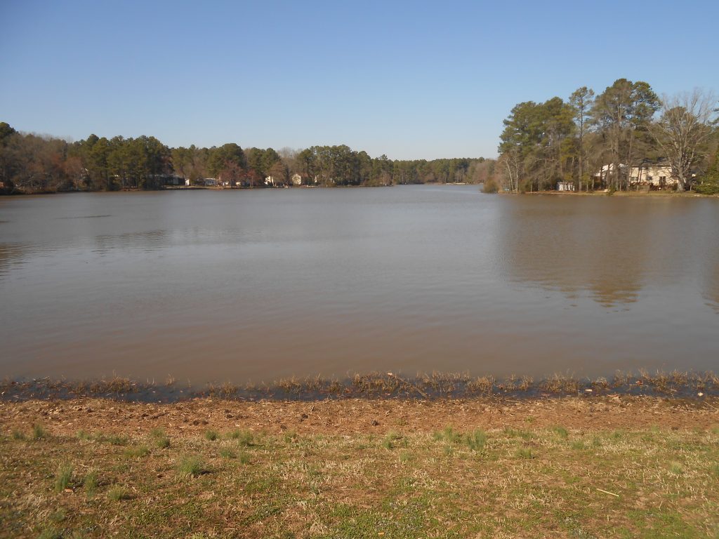
Cross Clermont Road to the benches on Parkwood Lake. When this phase of Parkwood was built, a dam at the Sedwick Road end impounded Tributary C for Parkwood Homeowners Association resident use for rowboats, canoes, and kayaks, and for fishing. For many years a legendary large catfish lived in the bottom of the lake, occasionally showing itself when people were throwing bait in the water. The lake today attracts ducks, geese, herons, osprey, and even an occasional bald eagle.
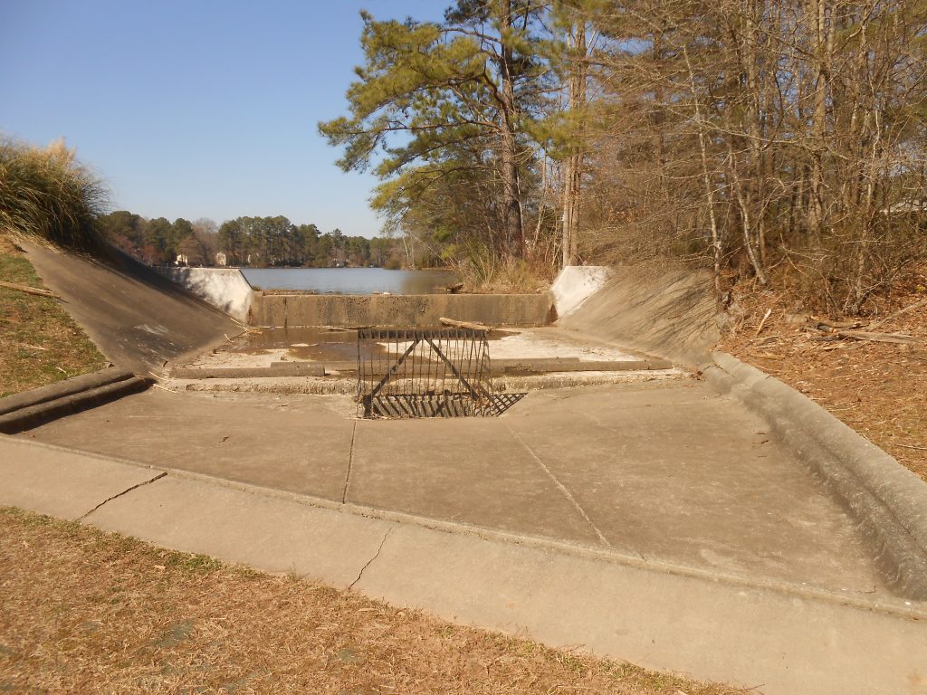
Continue on Clermont Road, turning right on Pelham Road. Across from 5810 Pelham Road is a small park by the dam on Parkwood Lake. The dam has a spillway at the far end that can flood a retention pond in the woods at the near end; it also has an overflow pipe in the dam itself. This delays the release of stormwater after major rainstorms into the main stem of Northeast Creek. South of the 7-foot metal stormwater pipe under Sedwick Road is another wooded stream buffer on Parkwood Homeowner Association common land.
Behind 5739 Grandale Road is the historic package sewage plant that treated sewage from the southern part of Parkwood before City of Durham sewer service was installed in 1990. The provision of water wells and sewage package plant was a key part of the 1960s and 1970s housing and environmental protection policy, and Parkwood was one of the early adopters in this area.
Continue on Pelham Road; turn right at Sedwick Road; turn left at the four-way stop sign at Grandale Road. Turn left on Kandes Court and go to the cul-de-sac between 12 Kandes Court and 14 Kandes Court. A narrow strip of Christine Park Homeowners Association land here is access back to the bottomlands of Tributary C, an area of often flooded wetlands.
Return to Grandale Road and turn left. The land along this section of road once belonged to the Vickers family. There is a Vickers family cemetery of unknown ownership at 5905 Grandale Road, a quarter acre on the uplands of the Tributary C flood plain.
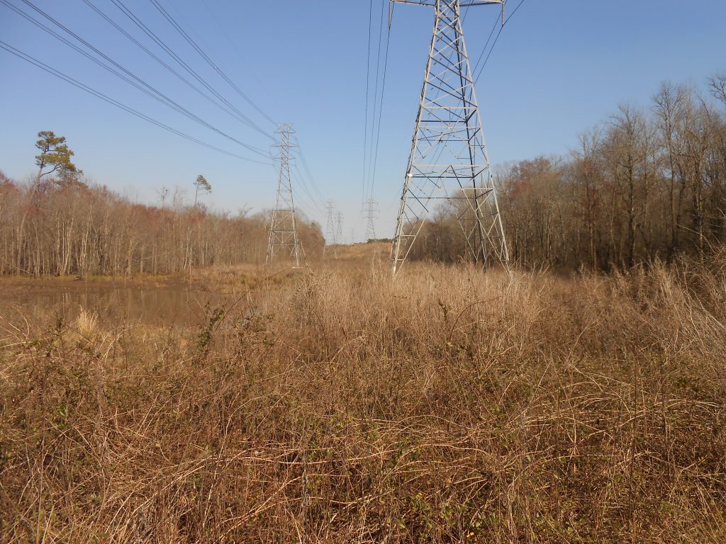
Continue on Grandale Road and stop past the bridge over the main stem of Northeast Creek. Walk across the bridge to the north side of Northeast Creek. The grassy wetlands to the right in the easement of the high-voltage power line are where Tributary C drains into the main stem of Northeast Creek.
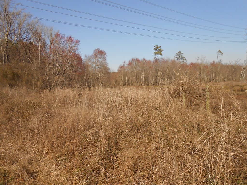
Look to the tree line at the north (left) edge of the power line easement; periodically there are snags this side of the tree line in flooded forest. The trees die and birds use them for nesting until they rot, collapse and new trees grow to replace them. At other times the gap in the treeline that is the Tributary C flood plain is filled with cattail marshes, grassy periodic wetlands, patches of open water, or a mixture of these.
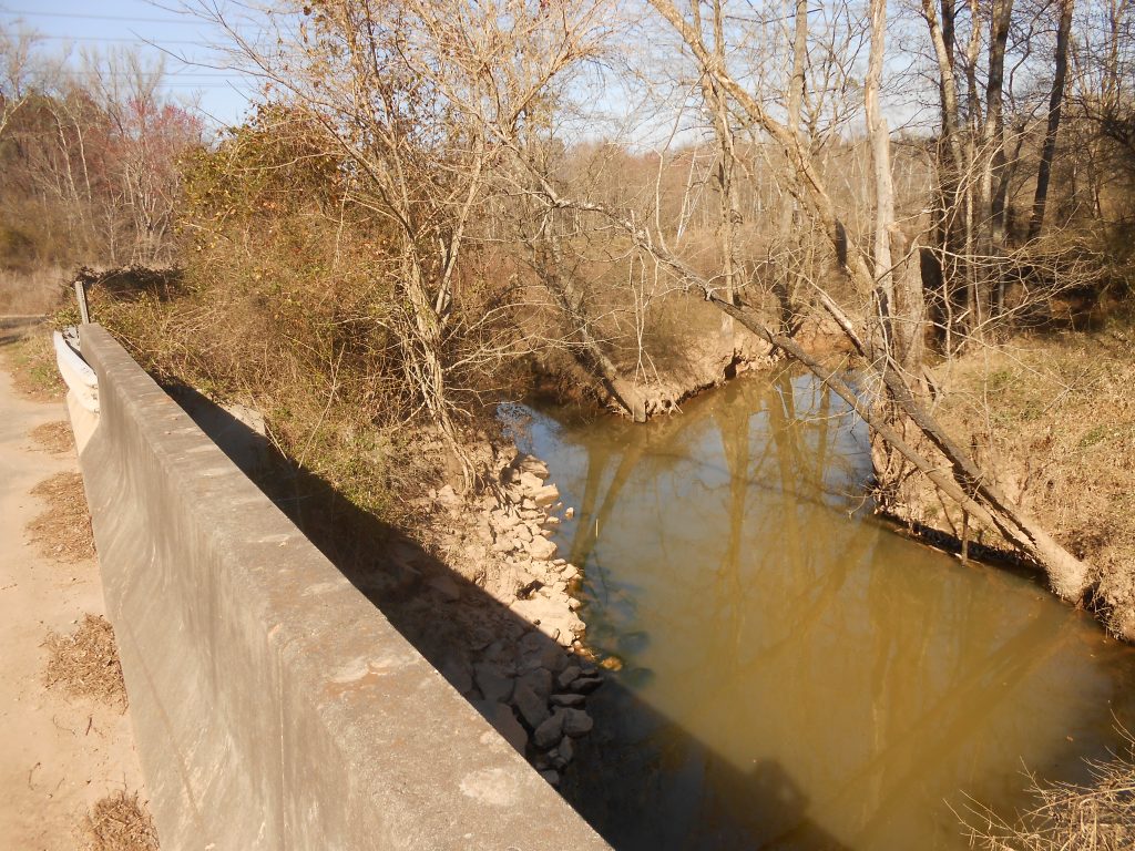
From the bridge, look upstream (east) with the USGS gage station on the same side and to your right. This gage station transmits data about stream flow rate and stream height to a web page identified as being at Genlee NC. Genlee is the name of the railroad station off NC 55 that was near where the Triangle Brick Company showroom now is. Prior to 1941, Genlee station was known as Togo station, named for Marshal-Admiral Togo Heihachiro, the naval victor of the Russo-Japanese War of 1906, the year in which the stationed opened. The name was changed to Genlee (“General Lee”) and the next station north named after Oyama Iyao (“Oyama”) was changed to honor Duke President William Preston Few; the names changed as a result of anti-Japanese sentiment after Pearl Harbor. The USGS stream gage preserves the place name Genlee.
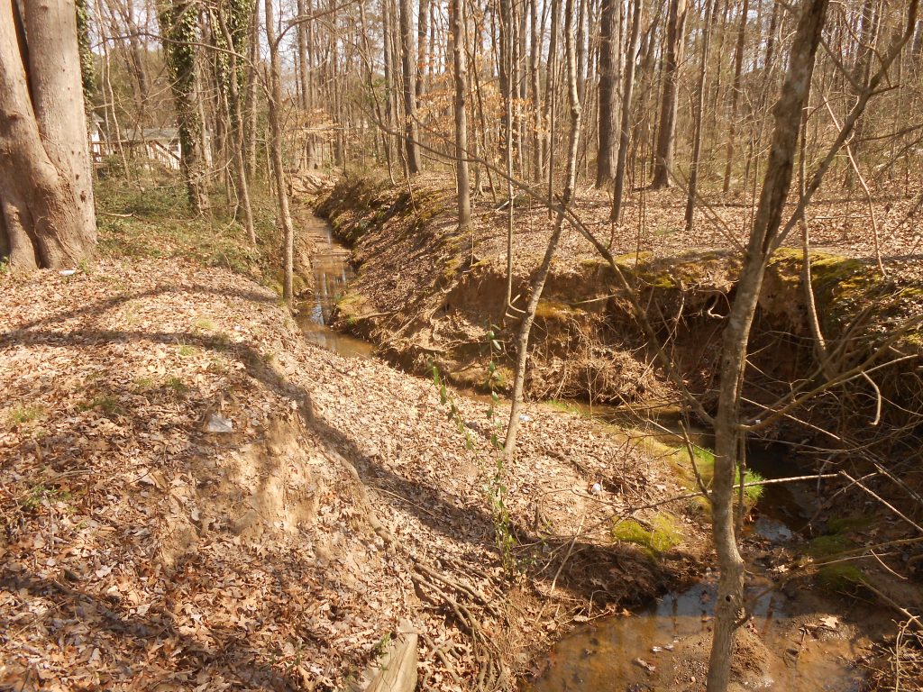
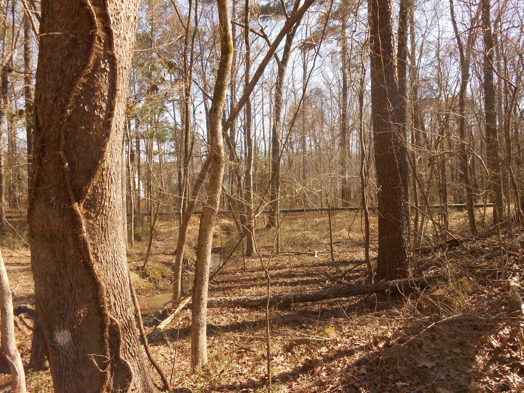
Walk into the woods between the orange-striped trees (Army Corps of Engineers line and corner markers) and the bridge. The flood plain here is below a 40-foot creek bluff from millions of years of erosion of the Triassic Basin soils. In these woods you can see the meanders and oxbow pools that are the result of changing braids of waterways in the flood plain. In addition, you can see smaller vernal pools that are seasonal refuge for amphibian young from fish predators. Notice the large beech trees in the bottomlands.
Cross Grandale road to the west side and find the bottomlands to the creek side of the orange-striped Army Corps of Engineers boundary marker. Note that this land is North Carolina Wildlife Commission Gameland and might be used by hunters during hunting season.
In the bottomlands with the creek on your right and a bluff on your left, look at the ground during spring for spring beauties and trout lilies. Walk dodging the greenbrier (Smilax) and vernal pools to the higher ground along the edge of the creek. Following the creek downstream you will come to a paw-paw patch right on the creek. Return to the road and continue north on Grandale Road recrossing the bridge.
Turn right on Sedwick Road; turn left on Revere Road; turn right on Brentwood Road. Turn right on Bradley Circle and pause in front of 111 Bradley Circle. This house is on the ridge that separates the Tributary C catchment from the stream catchments that flow directly into the wetlands between Euclid Road and NC 55. Toward Revere Road is the Tributary C catchment, which flows through a stormwater pipe under Spears Lane along a branch to the south side of the Spiritual Fellowship of Bahais of the City of Durham, under Revere Road to the parking lot of the Jamaat Ibad ar-Rahman mosque and through that stormwater system to empty into the Tributary C through a single concrete pipe on Parkwood Village Association property.
Also emptying through this single pipe is the other runoff from the historic Parkwood Center tract, a one-third acre square set aside for a water tank and still owned by Oliver Alphin, one of the early developers of Parkwood. That suggests that the water tank was never built. Some longtime Parkwood residents might clarify this point.
That runoff also drains the Parkwood UMC property and the Parkwood Condos through that single stormwater pipe.
That is where the water in Tributary C goes.