
Start at NC 54 and Barbee Road. Go on Barbee Road past the Shell station (under construction) and toward Grandale Road. Just beyond Grenfell Drive on the right, in what is now 6603 West Barbee Road was a NC Forest Service fire tower during the 1950s.
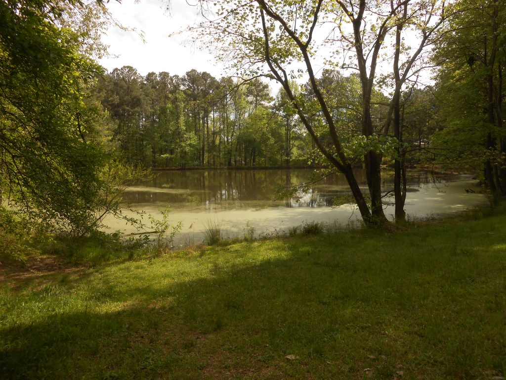
Turn left on Hunters Lane an go to the cul-de-sac at the end. The property at the end is owned by the Hunters Woods Recreation Association and contains the old farm pond on the property that was developed as Hunters Woods in the late 1960s. This pond and the runoff from both sides of Hunters Lane that feeds it are one of the sources of Tributary D of Northeast Creek. The farm pond now functions as a retention pond that slows the runoff from upstream.
Return up Hunters Lane to Little Creek Road; turn right on Little Creek Road. At 918 Huntsman Drive, Tributary D crosses through a 12-inch corrugated metal stormwater pipe. A stream that is carried through stormwater pipes from 1103 Little Creek Road crosses at 1002 Huntsman Drive and joins Tributary D behind 111 Bounty Lane.
Continue on Huntsman Drive to Grandale Road; go straight across Grandale Road to Pondfield Way; turn left on Pondfield Way and go to the end of the cul-de-sac by the retention pond. The runoff from the upper end of Grandin Trace is piped into this retention pond, which empties into the stream coming from the farm pond on property at 6671 Herndon Road and 6901 Herndon Road.
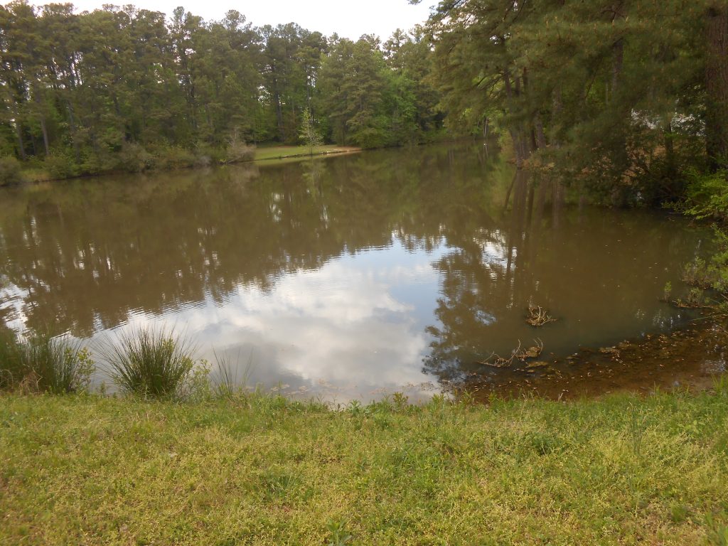
Leave Grandin Trace by returning from the cul-de-sac to Huntsman Drive; turn right onto Huntsman Drive and right into Grandale Road. Turn right into Shalimar Drive and right into Landreth Court; pause in the cul-de-sac. Between 104 Landreth Court and 235 Shalimar Drive is where the stormpipe that carries the stream from 6671 Herndon Road and from Grandin Trace empties into the farm pond on the common property of Lakehurst Pointe homeowners.
Go to the access to the Lakehurst Pointe pond, which is between 217 Shalimar Drive and 221 Shalimar Drive. The outlet from this dam goes to a stream that runs between Shalimar Drive and Stinhurst Drive.
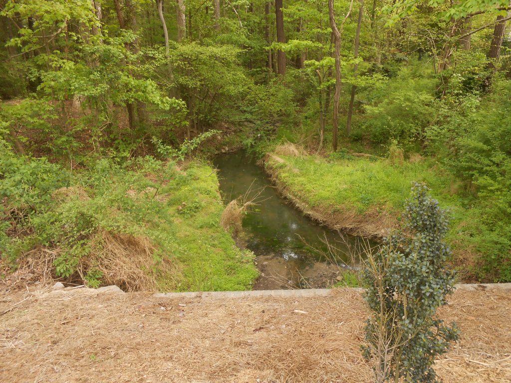
Continue on Shalimar Drive and turn right on Stinhurst, stopping beyond 206 Stinhurst at the cedar screen for the stream. The stream from the Lakehurst Pointe pond crosses Stinhurst Drive between 1 Monteith Court and 203 Stinhurst Drive into a small retention basin behind the cedars. Below this retention basin, a stream that starts at 109 Stinhurst joins this stream between 9 Monteith Court and 5114 Wineberry Drive. Behind 5118 Wineberry Drive this stream joins the main stream of Tributary D, to which you now turn your attention.
Turn around and go on Stinhurst Drive toward Wineberry Drive; turn left on Wineberry Drive and go across Grandale Road. Turn right on Limerick Lane and stop across from 1009 Limerick Lane and 1011 Limerick Lane. The main stream of Tributary D goes through a storm pipe under Limerick Lane and flows between the houses on Wineberry Drive and the houses on Limerick Lane (after it curves southward). The runoff from Fentress Court in Parkwood and Candytuft Lane in The Ridges makes a small stream that runs into Tributary D behind 4925 Wineberry Drive and often floods the back yards of 4925, 4927, and 4929 Wineberry Drive.
Return along Limerick Lane and turn left on Wineberry Drive and stop at 4926 Wineberry Drive. Walk south on Grandale Road to where Tributary D crosses under Grandale Road through two 54-inch storm pipes. These pipes carry all runoff from the western side of the highlands in Hunters Woods and the McCormick highlands as well as the runoff from Candytuft Lane in The Ridges.
Continue on Wineberry Drive and turn right on Stinhurst Drive. Continue up Stinhurst Drive to Avonlea Court. Every house on the right side of Stinhurst Drive from Montieth Court to Herndon Road is on the ridge that separates Lakehurst Pointe pond runoff from the Lakehurst pond runoff. The Lakehurst Pointe runoff joins Tributary D at the end of Wineberry Drive, which is where the wider bottom land of Tributary D begins. The Lakehurst runoff joins Tributary D behind 7300 Montibillo Parkway and 7501 Chesley Lane.
Continue to Herndon Road and turn left. Turn left on Martry Road; turn right on Leapale Lane; turn left on Cheselden Drive; turn right on Bennington Parkway. Go to the right three-quarters of the way around the traffic circle and right on Montibillo Parkway. Past Chesley Lane and Noorin Court, turn right on Pencade Lane and park at the end of the pavement. You are overlooking the Grandale Place Homeowners Association common land that protects the west side of Tributary D after the junction with the stream from Lakehurst Pointe.
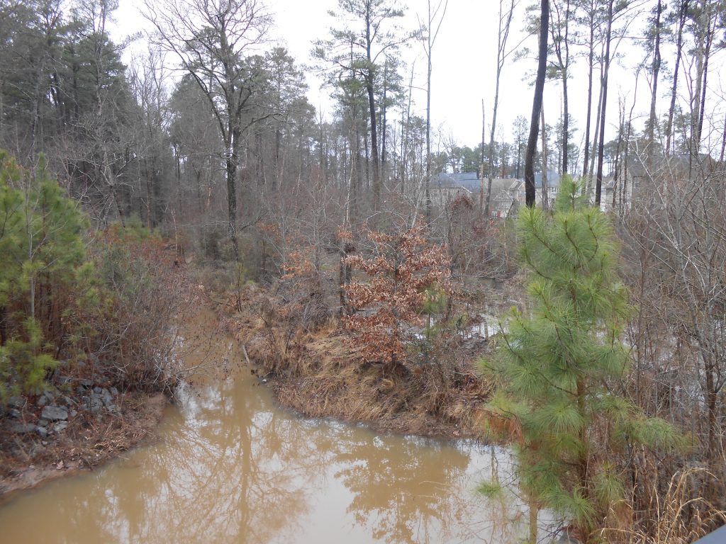
Turn around and go out Pencade Lane, turning left on Montibillo Parkway. Return to the traffic circle and go around to the right half a turn to Rosemont Parkway; turn right and continue on Rosemont Parkway to the traffic circle at Fenwick Parkway,going around three-quarters of a circle and turning right on Fenwick Parkway heading toward Grandale. Turn left on Lyon Farm Drive; continue on Lyon Farm Drive to just beyond the bridge over Tributary D. Stop and walk back to the bridge, noting the storm drains right before the end of the bridge that direct runoff from Lyon Farm Drive and Grandhaven Drive into the Tributary D bottomland. All of the runoff from west of Grandale Road flows down into Tributary D.
Turn around, recross the bridge and continue down Lyon Farm Drive. Behind 5813 Lyon Farm Drive is the outlet for the storm pipes from Lyon Farm and beyond that the farthest extent of US Corps of Engineers land up Tributary D.
Turn right on Lyon Tree Lane. Turn left on Scott King Road. Find a place to stop safely on either side of the Scott King Road bridge over Tributary D.
Go across Scott King Road to the upstream side of the road. Notice the wetlands and bottom lands that the US Corps of Engineers has preserved as flood plain for the upstream of Lake Jordan. A portion of these lands are also NC Gamelands under management of the NC Wildlife Commission.
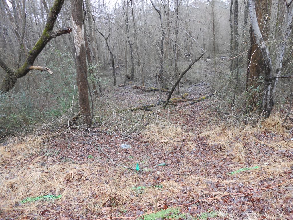
Return to the downstream side of Scott King Road. Walk either way from the bridge to a tree blazed with orange stripes. Two stripes are a US Corps of Engineers boundary. Three stripes are a US Corps of Engineers corner. If you are between these trees and the creek, you are on US Corps of Engineers property, which is bottom land and wetland roughly below 240 feet in elevation.
You can explore the sides of Tributary D in the direction of Northeast Creek as far as it is passable for walking. The wetland at the junction of Tributary D and Northeast Creek changes with rearrangement of meanders and with beaver dam construction.
This is the end of the Tributary D virtual tour.